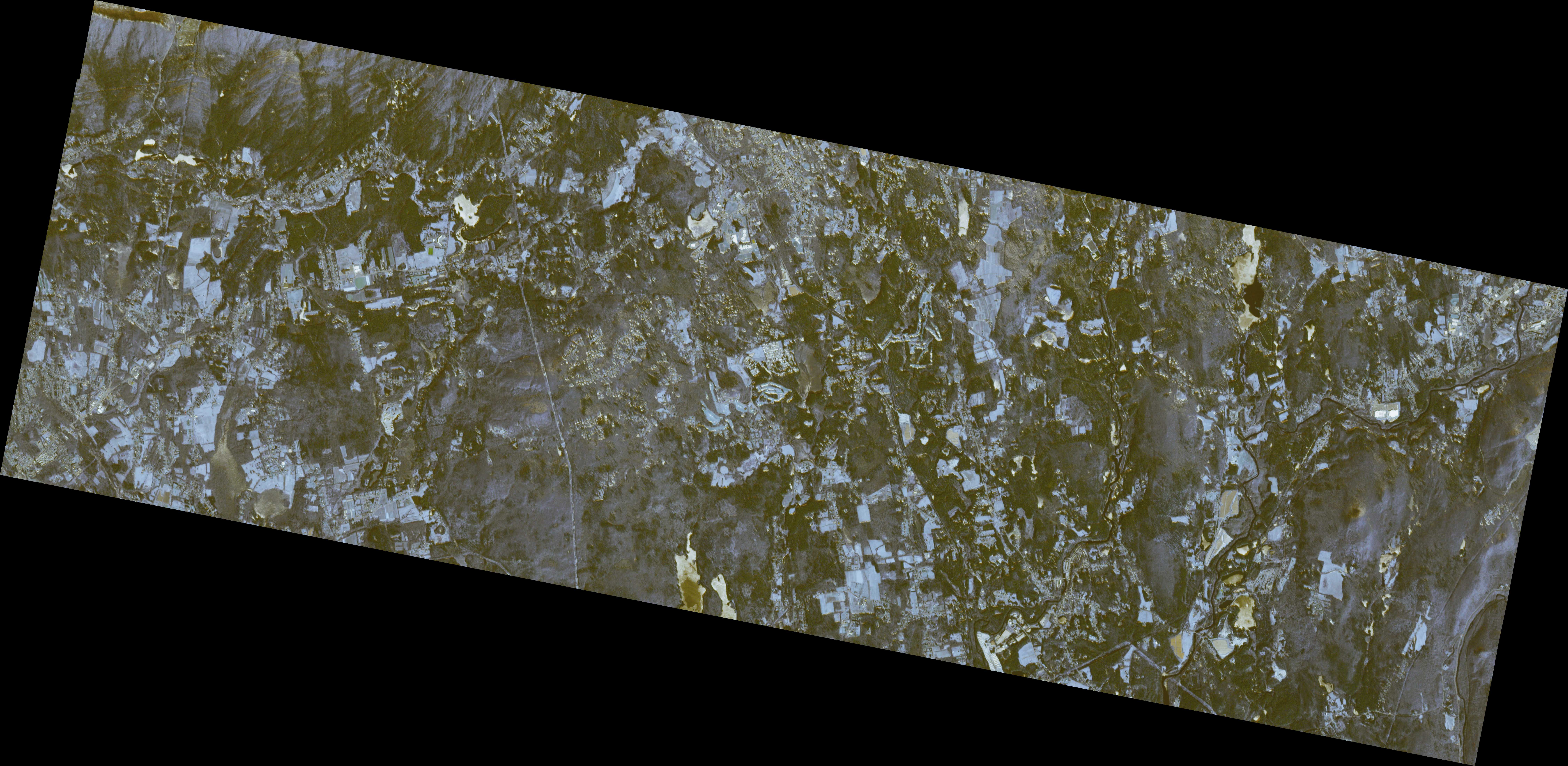
The goal of this project was to train a Generative Adversarial Network (GAN) to extract road networks from satellite imagery and assess its performance relative to pixel-wise classification methods. The data I used was 4 band (Red, Green, Blue, Near IR) imagery with a 3m resolution from Planet Labs. Throughout the Remote Sensing course, we often used indices such as NDVI or NDWI for land cover classification. With indices like these, a value is calculated for each pixel that is a function of the band values at that pixel. This value can then be thresholded to classify a certain type of land cover. A shortcoming of this method is that no local context is used to inform the classification of each pixel. By using a discriminator with convolutional layers, I hoped to achieve superior performance to pixel-wise classification through the incorporation of some of this local context in the classification process.
The first challenged I faced was producing training data.
Acquiring 4 band imagery from Planet was relatively simply, but producing accurate labels for the roads was more difficult.
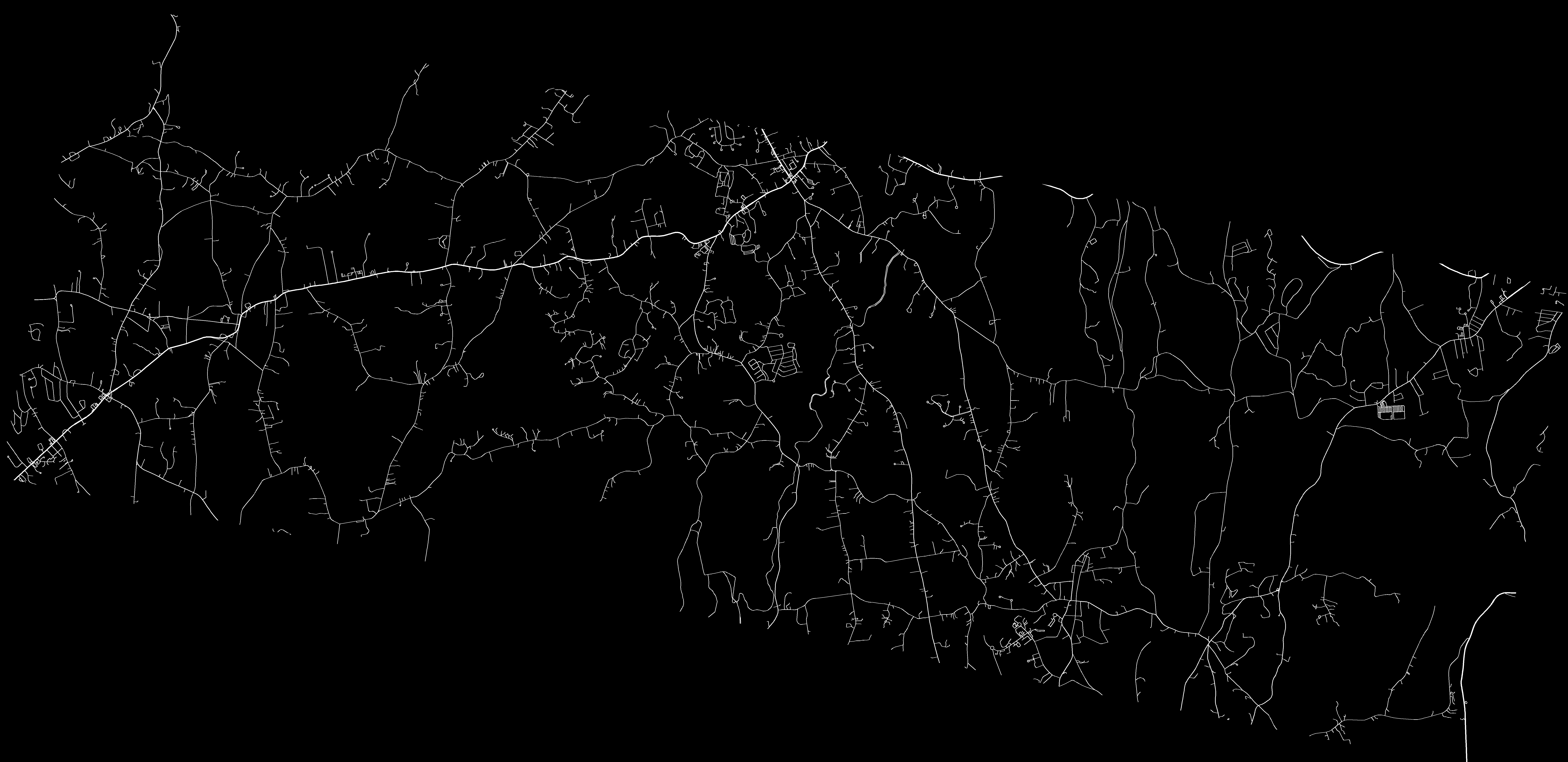
I ended up using the OpenStreetMap API to retrieve all of the roads within the Planet Scene, and then drew binary road masks for each scene.


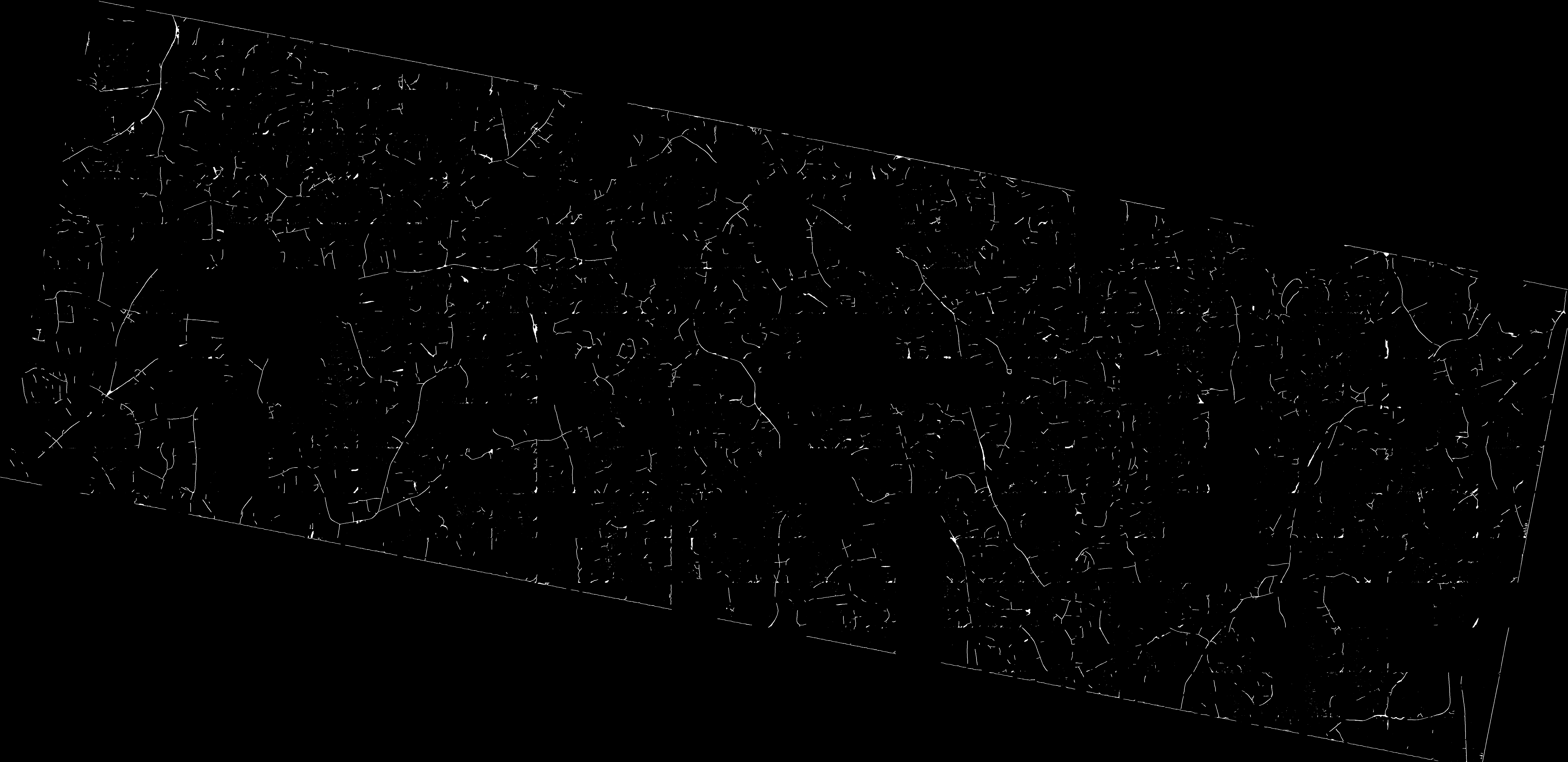
The architecture I used for my GAN was based off of the Pix2Pix model. The generator is a U-Net style model with skip connections between the downsampling and the upsampling layers, while the discriminator is a convolutional network that separately classifies patches of the input image as either real or generated.
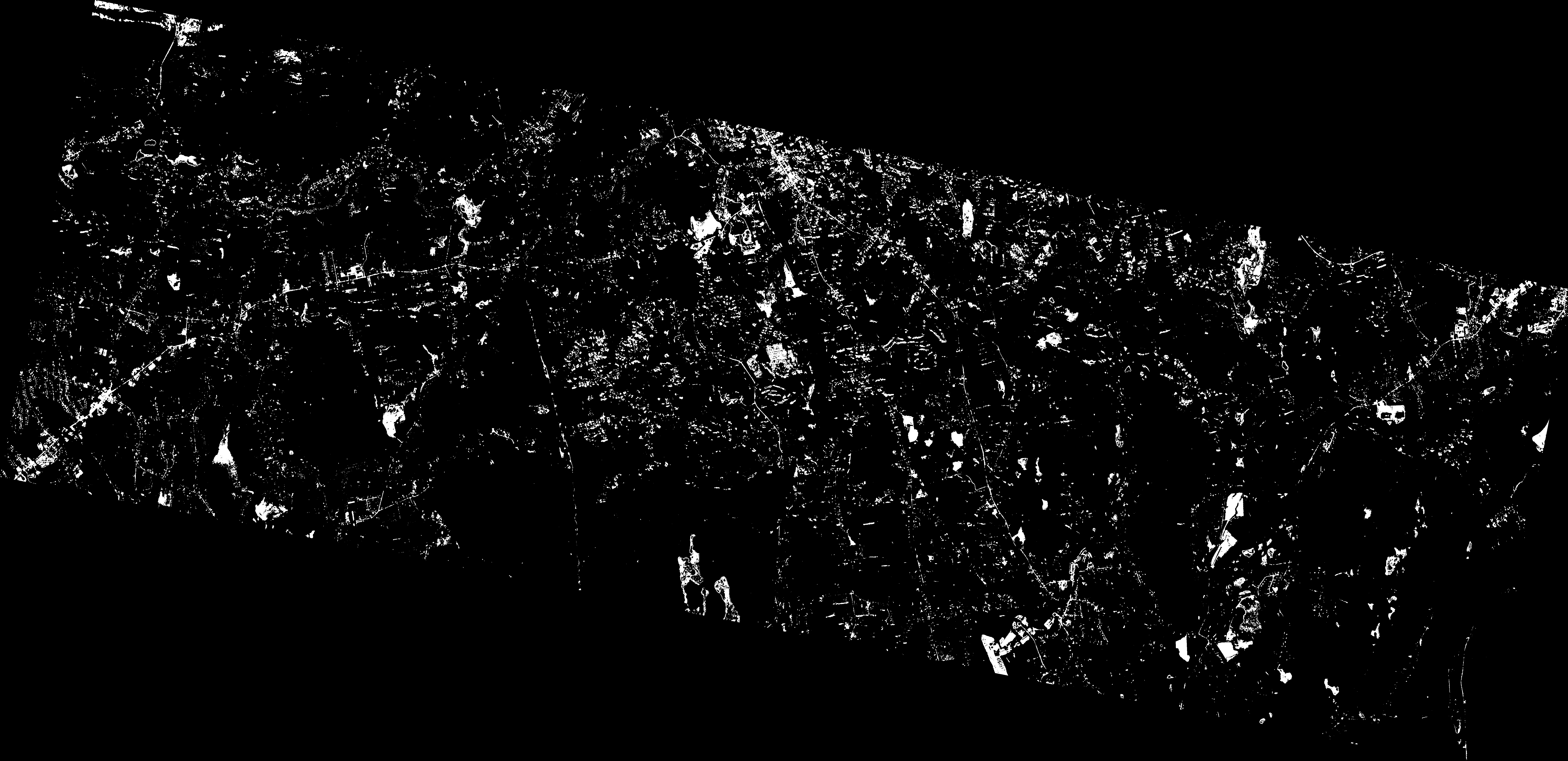
For comparison, I also trained an SVM with an RBF kernel to classify each pixel as road or not road, taking the band values of that pixel as inputs. Since the RBF kernel effectively projects the 4 band data into a much higher dimensional space, the SVM should give a rough upper bound for the sort of performance that can be expected from a classifier that only considers pixel band values and not scene geometry.


RoadGAN and the SVM had very different performances. RoadGAN had a higher precision than the SVM, but a lower recall. However, when the F1 scores (a combination of precision and recall) are compared, RoadGAN outperforms the SVM. The SVM also took significantly longer to classify a scene since it had to classify each pixel independently. Due to limited time and computational resources, I'm not confident that RoadGAN was trained to convergence. With additional training and data it would likely show improved performance.
| RoadGAN | |||
|---|---|---|---|
| Scene | Precision | Recall | F1 Score |
| Western Mass. 1 | 0.287 | 0.176 | 0.218 |
| Western Mass. 2 | 0.595 | 0.182 | 0.279 |
| Western Mass. 3 | 0.474 | 0.192 | 0.274 |
| Western Rhode Island | 0.347 | 0.254 | 0.293 |
| Average | 0.480 | 0.189 | 0.271 |
| SVM | |||
|---|---|---|---|
| Scene | Precision | Recall | F1 Score |
| Western Mass. 1 | 0.114 | 0.257 | 0.158 |